Description
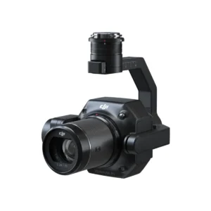
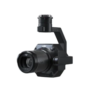
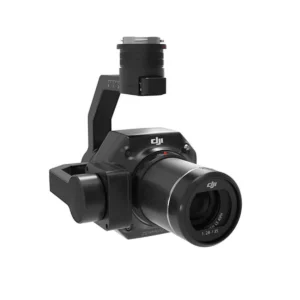
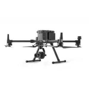
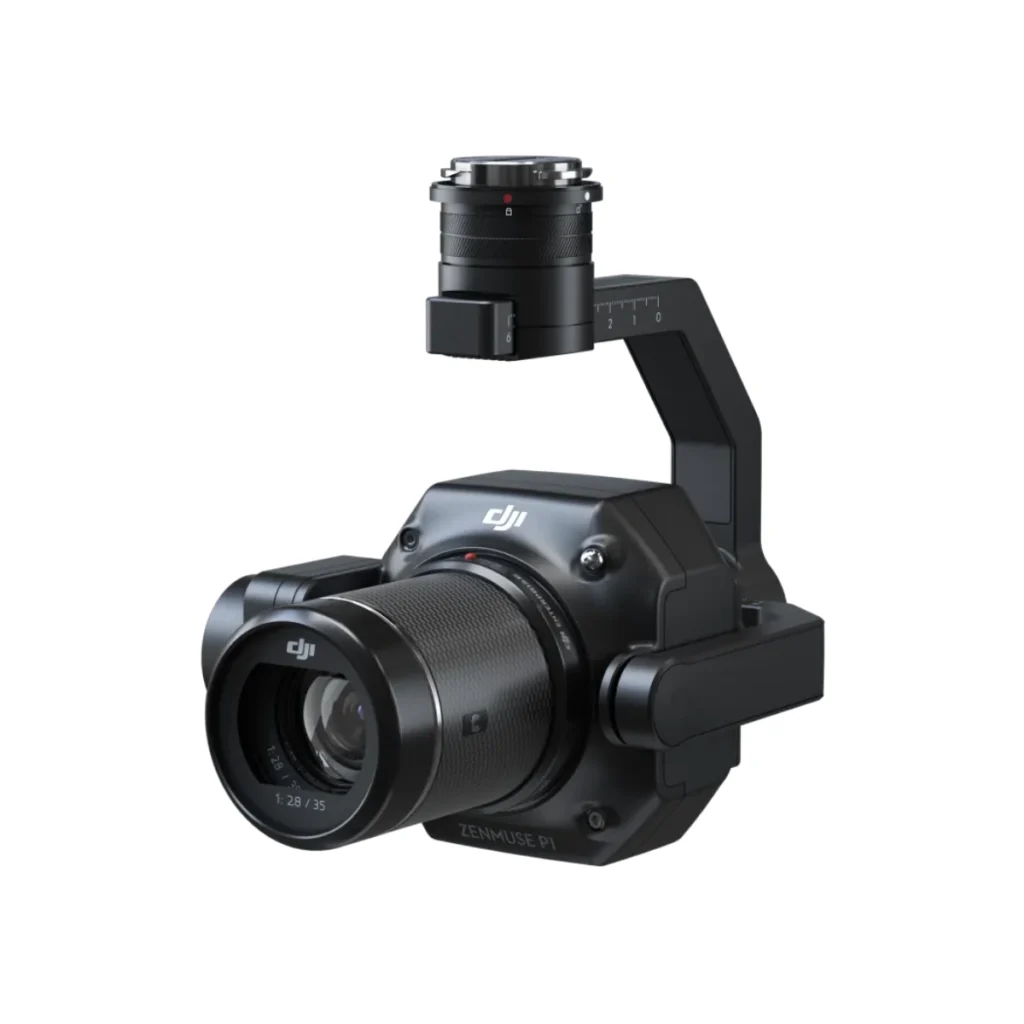
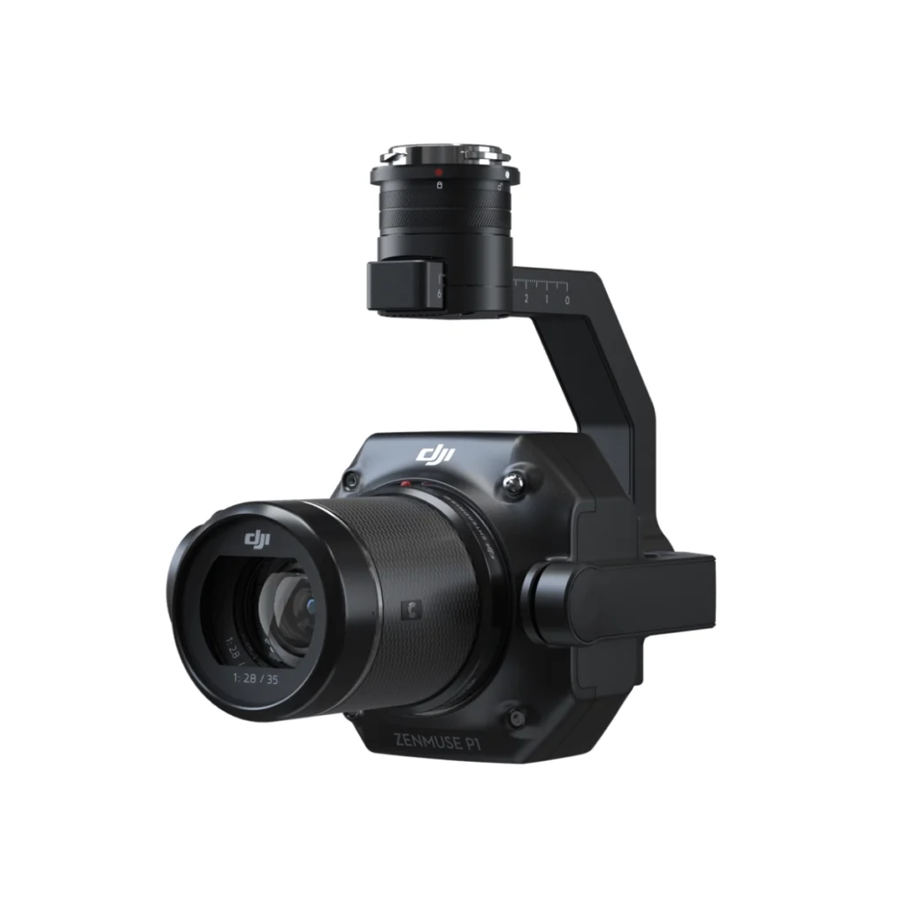
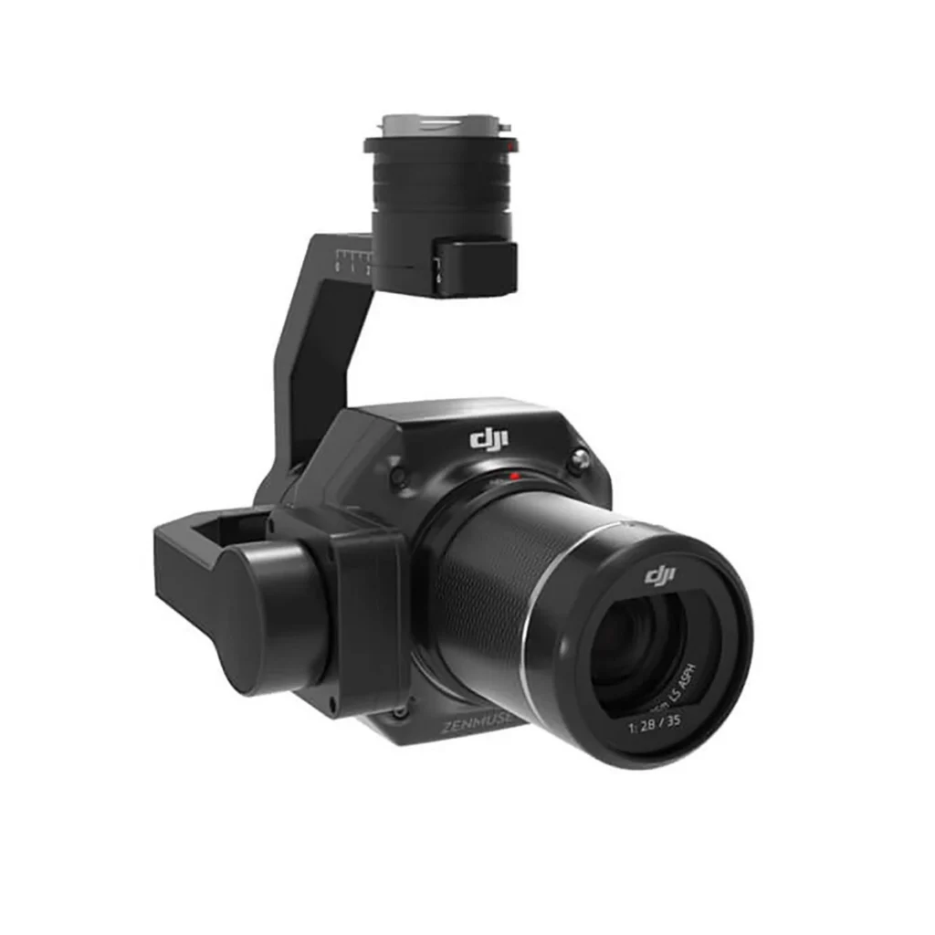
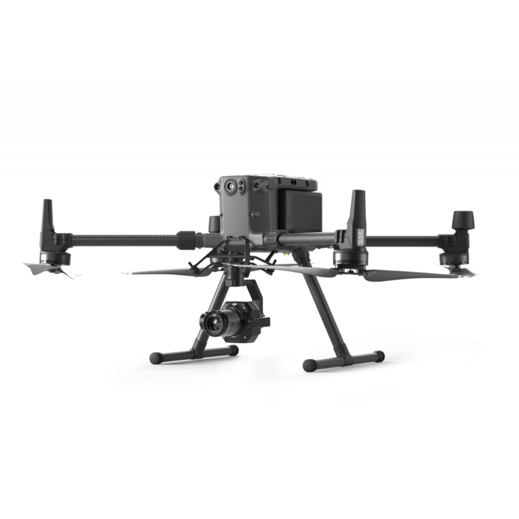
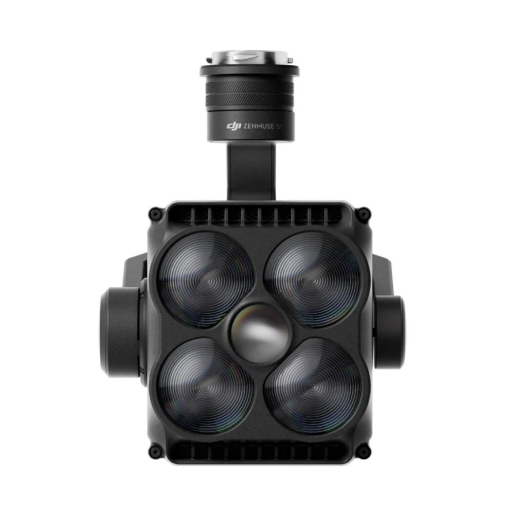
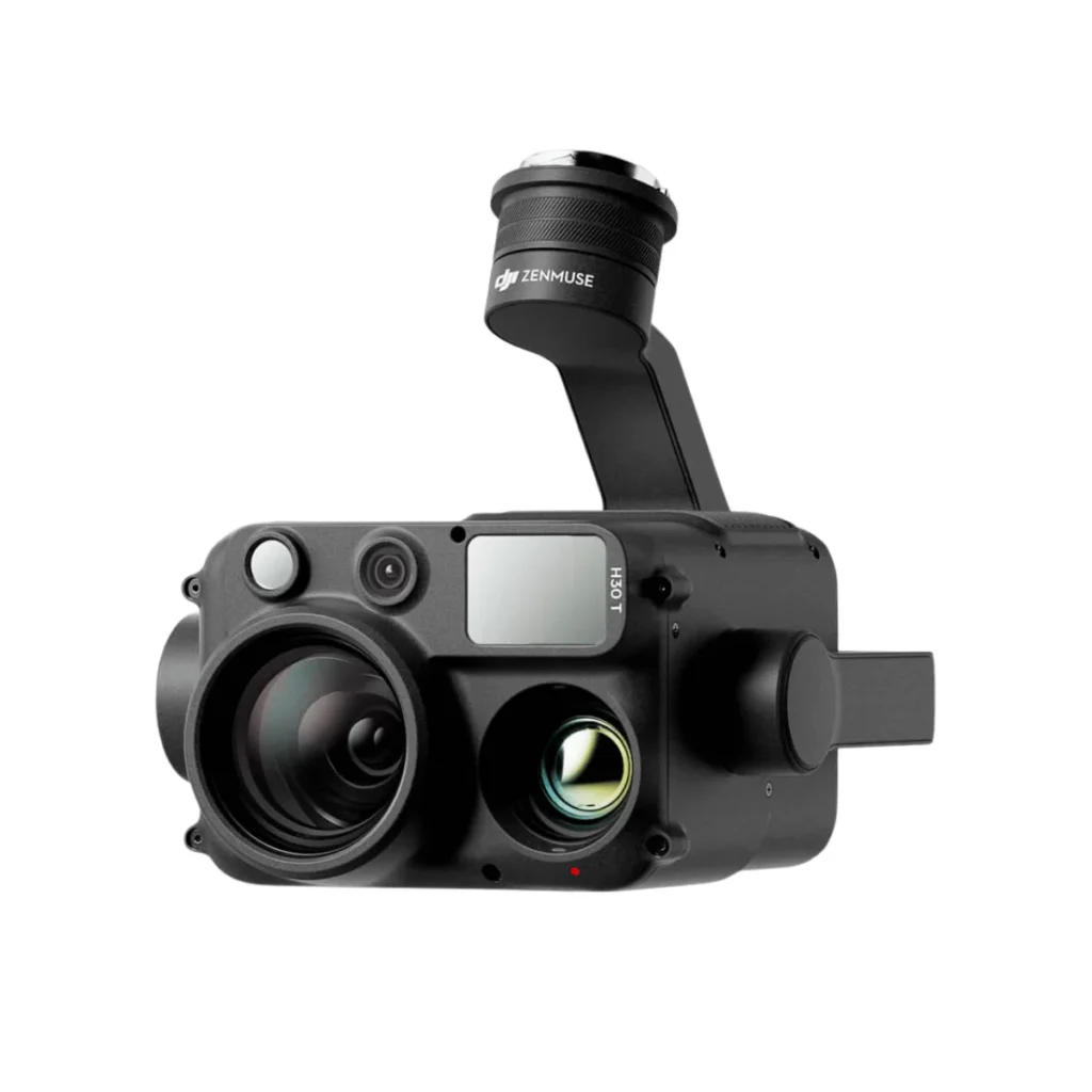
The DJI Zenmuse P1 is a professional aerial photogrammetry payload that integrates a 45 MP full-frame sensor with interchangeable fixed-focus lenses on a 3-axis stabilized gimbal.
Designed for high-accuracy mapping and surveying missions, the P1 combines a mechanical global shutter, TimeSync 2.0, and Smart Oblique Capture to deliver centimeter-level data with outstanding operational efficiency.
It can achieve accuracy of up to 3 cm horizontally and 5 cm vertically without GCPs under specified mapping conditions and can cover up to 3 km² in a single flight.
SPECIFICATIONS — DJI Zenmuse P1
|
Sensor
|
45 MP Full-Frame Sensor
|
|
Pixel Size
|
4.4 μm
|
|
Gimbal
|
3-axis stabilized gimbal
|
|
Supported Fixed-Focus Lenses
|
DJI DL 24 mm • 35 mm • 50 mm
|
|
Included Lens
|
DJI DL 35 mm Lens
|
|
Shutter
|
Mechanical global shutter
|
|
Shutter Speed
|
Up to 1/2000 s
|
|
Photo Capture Interval
|
As fast as one photo every 0.7 seconds during flight
|
|
Time Synchronization
|
TimeSync 2.0 with microsecond-level synchronization
|
|
Accuracy Without GCPs
|
Up to 3 cm horizontal • 5 cm vertical
|
|
Single-Flight Coverage
|
Up to 3 km² under specified mapping conditions
|
|
Smart Oblique Capture
|
Supported
|
PHOTOGRAMMETRY CAPABILITIES
|
High-Efficiency Mapping
|
The full-frame sensor can capture one image every 0.7 seconds during flight and cover up to 3 km² in a single flight under specified mapping conditions.
|
|
Centimeter-Level Data
|
TimeSync 2.0 synchronizes the camera, flight controller, RTK module, and gimbal with microsecond-level precision to support highly accurate aerial data acquisition.
|
|
Smart Oblique Capture
|
The gimbal automatically rotates to capture images from the required angles while prioritizing the images needed for reconstruction at the boundaries of the flight area.
|
|
Oblique Mapping Efficiency
|
Smart Oblique Capture can support coverage of up to 7.5 km² in a single workday under the specified conditions.
|
|
2D & 3D Modeling
|
Supports the creation of 2D orthomosaics, 3D oblique models, and detailed models.
|
INTELLIGENT DATA MANAGEMENT
|
Mission File Organization
|
Mission output files are automatically associated with the mission name and mission time.
|
|
Centralized Data Storage
|
Photos, GNSS data, and TimeStamps.MRK files are stored together for simplified data management.
|
|
Image Metadata
|
Includes intrinsic and extrinsic camera parameters together with RTK status information.
|
|
Fieldwork Report
|
Allows operators to review position data, acquired image count, RTK status, and positioning accuracy after flight.
|
SUPPORTED MISSION TYPES
|
2D Orthomosaic Mission
|
Supported
|
|
3D Oblique Mission
|
Supported
|
|
Detailed Modeling Mission
|
Supported
|
|
Real-Time Mapping Mission
|
Listed as upcoming support in the provided information
|
APPLICATIONS
|
Topographic Mapping
|
Captures data designed to meet 1:500 scale accuracy requirements without GCPs.
|
|
Cadastral Surveying
|
Supports rapid generation of centimeter-accurate 3D reality models.
|
|
Construction & Surveying
|
Supports project lifecycle management using 2D and 3D drone data.
|
|
Natural Resource Management
|
Supports measurement, classification, and management of water bodies and forests.
|
|
Geological Surveying
|
Enables centimeter-level aerial data collection in areas affected by geological hazards.
|
|
Disaster Site Modeling
|
Supports rapid situational overview and modeling of large disaster-affected areas.
|
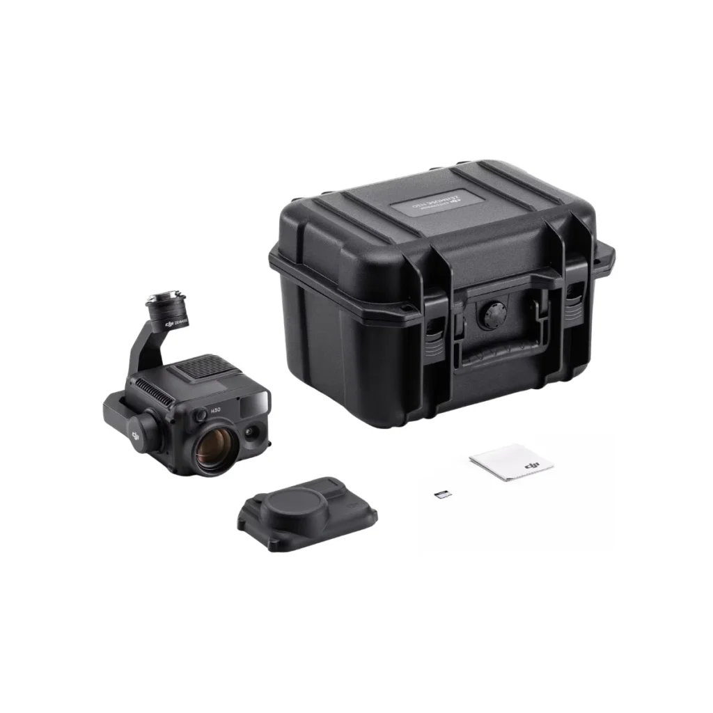
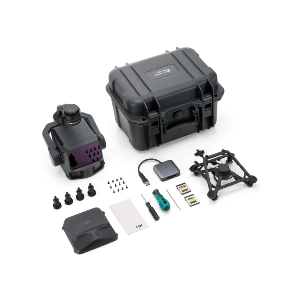
WHAT’S INCLUDED — DJI Zenmuse P1
|
Zenmuse P1 Gimbal and Camera
|
× 1 |
|
DJI DL 35 mm Lens
|
× 1 |
|
SanDisk Extreme 16 GB microSD Card
|
× 1 |
|
128 GB SD Card
|
× 1 |
|
Protective Case
|
× 1 |
|
Camera Body Cap
|
× 1 |
|
Rear Camera Cap
|
× 1 |
|
Lens Cleaning Cloth
|
× 1 |
|
Lens Cap
|
× 1 |
|
DJI Terra Activation Code — Electricity Version
|
× 1 — 6 Months
|
Your purchase includes (Next Level Corp)
• Official DJI product.
• Certified technical support and training.
• Genuine spare parts availability.
• Official factory warranty.
• After-sales support in Bolivia.
SHIPPING
We ship worldwide by air. Tracking is provided 3 days after purchase.
DELIVERY
Delivery is made to your doorstep via DHL within 7 to 10 days.



Reviews
There are no reviews yet.