Description
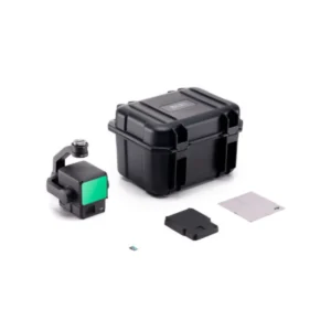
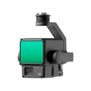
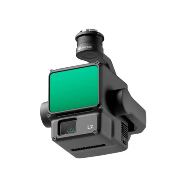
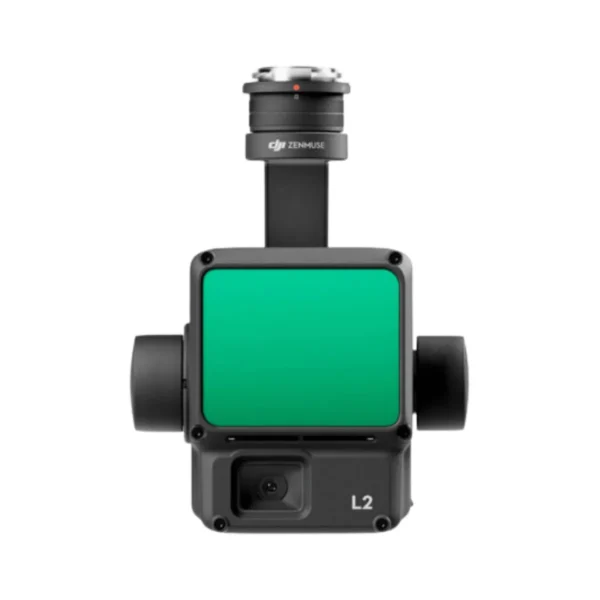
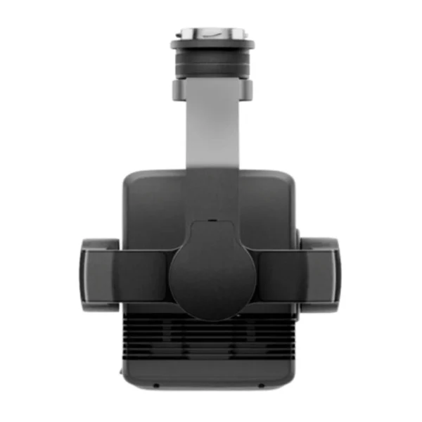
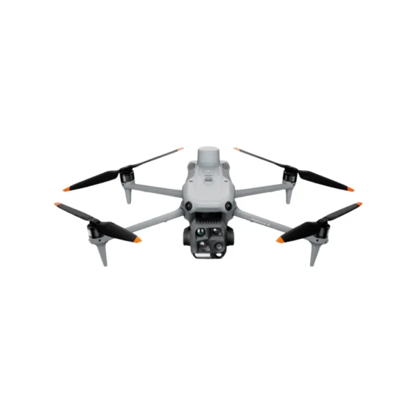
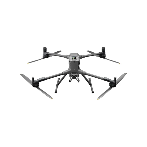
The DJI Zenmuse L2 is an all-in-one airborne LiDAR solution that fuses a long-range frame LiDAR (905 nm), a high-precision IMU, and a 4/3 CMOS 20 MP RGB mapping camera. Paired with Matrice 350/300 RTK and DJI Terra, it delivers fast, survey-grade point clouds with on-site preview and one-click post-processing.
SPECIFICATIONS — Zenmuse L2
| Manufacturer | DJI |
| Model | Zenmuse L2 |
| System accuracy (point cloud) | Vertical ~4 cm, Horizontal ~5 cm (at 150 m; RTK FIX; DJI Terra optimized) |
| Detection range |
Up to 450 m (50% reflect., 0 klx); ~250 m (10% reflect., 100 klx); min range 3 m |
| Point rate / returns |
Up to 1.2 M pts/s (multi-return), 240 k pts/s (single); max 5 returns |
| Scan patterns / FOV |
Repetitive: 70° (H) × 3° (V); Non-repetitive: 70° (H) × 75° (V) |
| Laser & optics |
905 nm Class 1; divergence ~0.2 mrad (H), 0.6 mrad (V); spot ~4 cm × 12 cm @ 100 m |
| IMU |
200 Hz update; yaw RMS ≤0.2° real-time / 0.05° post; pitch/roll RMS ≤0.05° real-time / 0.025° post |
| RGB mapping camera |
4/3 CMOS, 20 MP, mechanical shutter 2–1/2000 s; 24 mm eq., f/2.8–f/11; min interval ~0.7 s |
| Ingress / environment |
IP54 (lab); operating −20 to 50 °C; storage −20 to 60 °C |
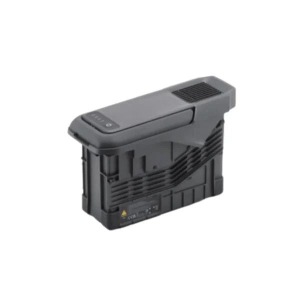
| Power / weight / size |
~28 W typical (58 W max), ~905 g, 155 × 128 × 176 mm |
| Live point-cloud coloring | Reflectivity, altitude, distance, RGB |
| Workflows |
On-site preview/replay; one-click post in DJI Terra; exports PNTS, LAS, PLY, PCD, S3MB |
| Compatible aircraft | Matrice 350 RTK, Matrice 300 RTK (with DJI RC Plus) |
Notes
• Accuracy depends on RTK state, flight plan, target reflectivity, ambient light, and Terra processing settings.
• IP rating verified in lab conditions; sealing effectiveness can decrease with wear.
• DJI Enterprise Basic Care: up to two paid replacements within 12 months (franchise cost per regional policy).
SHIPPING
We ship worldwide by air. Tracking is provided 3 days after purchase.
DELIVERY
Delivery is made to your doorstep via DHL within 7 to 10 days.


Reviews
There are no reviews yet.